Baoli In Farrukhnagar, Gurugram district, Haryana, India, there is a stepwell from the 18th century called Ghaus Ali Shah, also called Ghaus Khan ki Baoli.[1] Built by local lord Ghaus Ali Shah, who worked for the Mughal Emperor Farrukhsiyar, it was commissioned during his rule.
The baoli was constructed as a high point for monitoring the region and as a permanent supply of fresh water that was out of the enemy's reach and could not be spoiled or poisoned.
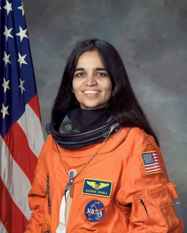
The elder brother of Chaudhary Devi Lal, Chaudhary Saheb Ram Chautala was born in Chautala, Hisar, in 1911. He was sentenced to one year's imprisonment in the individual Satyagraha of 1941. He died on May 30, 1987. Chaudhary Sahib Ram Sihag, also known as Ch. Sahib Ram Chautala, was a prominent political leader from Haryana. He was born in Chautala village, located in the Mandi Dabwali tehsil of Sirsa district, and was the son of Chaudhary Lekh Ram Sihag.
During the pre-independence era, he was elected as a Member of the Punjab Legislative Assembly, representing the Hisar Rural General seat as a candidate of the Indian National Congress. He won this seat in 1937 and was re-elected in 1946.
He was the elder brother of Chaudhary Devi Lal, who later became the Deputy Prime Minister of India and twice served as the Chief Minister of Haryana. The Chautala family has played a significant role in Haryana’s political history, with several members holding key positions in government.
According to a legend, the idol of the goddess was installed by Bhima, one of the Pandavas. Before Mahabharata battle, Bhima wanted to have blessings of Kuldevi. Yudhishthira and Bhima went to Hinglay Mountain (now in Pakistan) and prayed Kuldevi to move to the battle field and bless them with victory. The Kuldevi accepted the plea with the condition that Bhima will not drop her down on the way from the his lap and if he does so, she will go no further from that place.
While on way Bhima placed the idol of Goddess under the Beri tree and as per the condition, Kuldevi remained there. Unfortunately Bhima had to go to Kurukshetra battle only with blessings of Kuldevi. After 18 days of the war, a marvellous temple was built here
It lies 40 kms. north of Yamunanagar town. It is approached by road via Bilaspur and is about 2 kms from the nearest village Kathgarh. It is located on the foothills of the Shivaliks. It is a picturesque location, abundant with natural beauty and tranquility. Three mounds of antiquities have recently been excavated by the Archaeological Survey of India.
The city of Agroha was situated on the ancient trade route between Taxila and Mathura. And, therefore, it remained an important center of commerce and political activities till coming into existence of a new township of Hisar-e-Firoza (Hisar) of Firoz Shah Tughlag. A hoard of coins including 4 Indo Greek, one punch-marked and another 51 coins of Agrodaka were found from the site. The discovery of the coins of Agreya Janapada (Republic) during the excavations and its ancient name Agrodaka in literature are sufficient to prove it being the headquarters of a Republic. This site was excavated by C.J.Rodgers in 1888-89 and re-excavated by H.L.Srivastava in 1938-39 by Archaeological Survey of India to a depth of about 3.65 m. This site was further excavated by Shri P.K.Sharan and Shri J.S.Khatri of the Department of Archaeology & Museums, Government of Haryana in 1978-84.Archaeological excavation on this site revealed a fortified township and continuous habitation from 4th century BC to 14th century AD. Apart from the residential and community houses, made of baked bricks, the remains of a Buddhist stupa and a Hindu temple existing side by side indicated co-existence and respect of communal harmony.
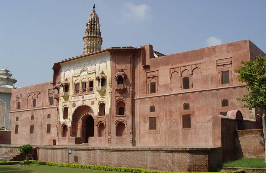
This three-storied building is in the shape of a step-well. It is approached by descending flight of steps leading to the bottom of the well. The steps have thick wall on both the sides. The thick walls on the either side of the steps are decorated with close arched doorways .It was built by Bhai rulers (1767-1843) of Kaithal state for the use of the general public
The name Kalayat seems to be derived from Kapilayatana, meaning the ‘home of sage Kapila’, the preacher of Sankhya-darshan of Indian philosophy. But at present, only two such temples survive and they are dated to circa 8th century AD. Built from carved bricks with fine and thin mortar; these temples are good examples of early Hindu temple architecture and exhibit creative use of flower representative specimen of Gurjara-Pratijara style. Most striking features of these temples are the arrangements of the carved bricks. Out of the two surviving temples; one remains archaeologically better preserved; whereas the other one underwent heavy modifications. They are possibly the only surviving specimens of north Indian temple in this part of the country belonging to pre-Muslim era.
The history of Jind as a separate ruling state begins with 1763 AD. It is the first fort built by the rulers of Jind state who were the ancestors of Phulkian family. Afterwards, it was used as a military cantonment of the state. This fort has bastions for providing strength to the fortification, which were also used to ensure security. Traditionally, this town Safidon is connected with Mahabharata story and it is said that Janmejay, the son of Parikshit, and grandson of Arjuna. had performed ‘sarpyajna’ (snake-sacrificial ritual) at this place after the death of his father, who was bitten by a snake

.jpg")


